Operational topographies
Rome 2020
new life cycles for the metropolis
Location: Rome, Italy
Year: 2017
Type: research publication & exhibition
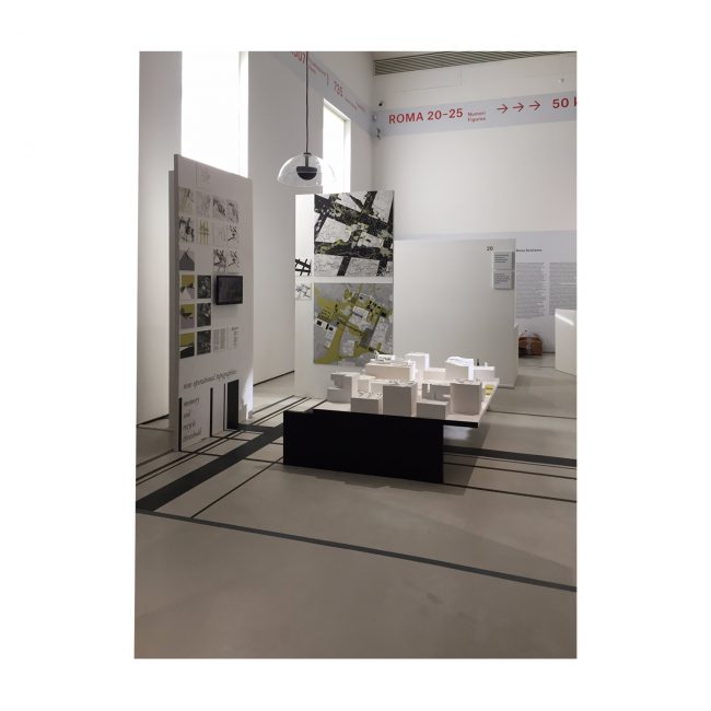
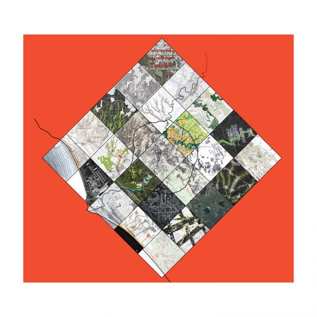
Operational topographies is a research project undertaken by 20 universities PHD departments. The project focuses on the surrounding territories of Rome in an attempt to understand new strategies for the city’s expansion.
Laboratorio di Dottorato PAUI
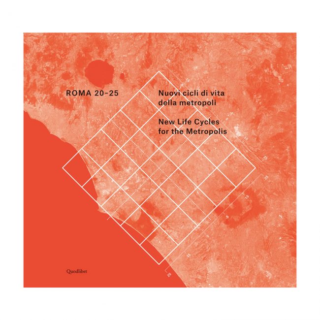
Roma 2025 Nuovi cicli di vita per la metropoli
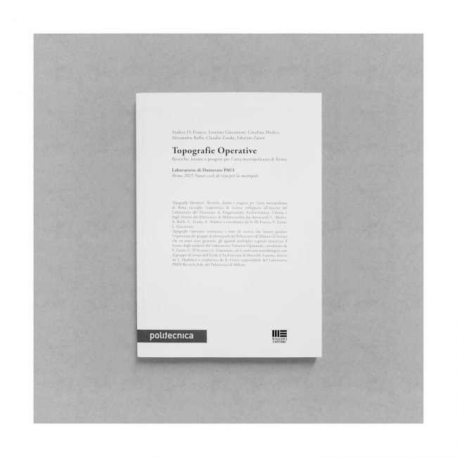
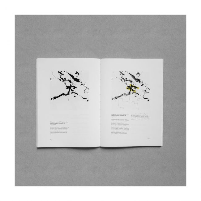
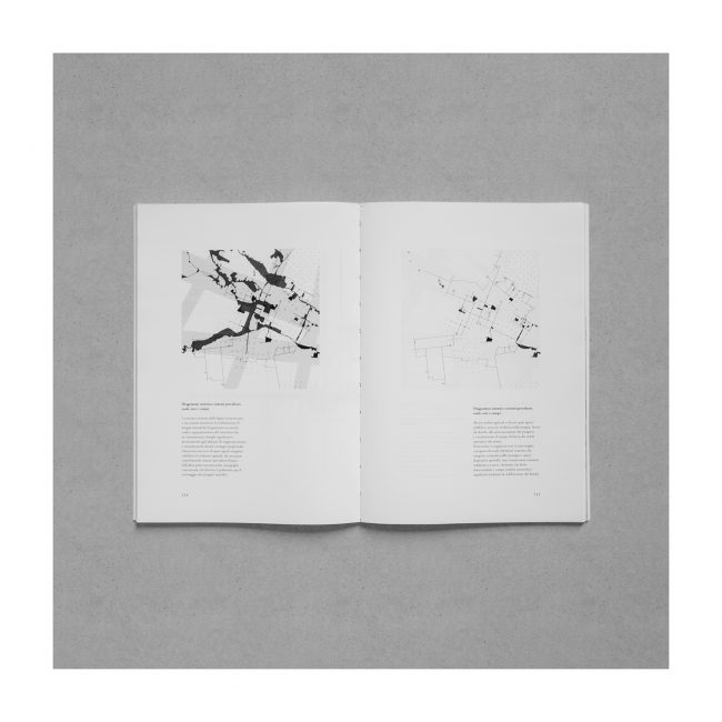
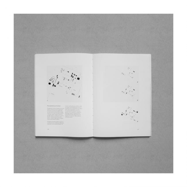
Topografie Operative. Ricerche, letture e progetti per l’area metropolitana di Roma raccoglie l’esperienza di ricerca sviluppata all’interno del Laboratorio del Dottorato di Progettazione Architettonica, Urbana e degli Interni del Politecnico di Milano svolto dai dottorandi C. Medici, A. Raffa, C. Zanda, A. Asfahari e coordinato da A. Di Franco, F. Zanni, L. Giacomini. Topografie Operative restituisce i temi di ricerca che hanno guidato l’esperienza del gruppo di dottorandi del Politecnico di Milano e le letture che ne sono state generate, gli sguardi molteplici espressi attraverso il lavoro degli studenti del Laboratorio Tematico Opzionale, coordinato da F. Zanni, G. D’Acunto e L. Giacomini, ed il confronto metodologico con il gruppo di lavoro dell’Ecole d’Architecture di Marseille-Luminy, diretto da L. Hodebert e coadiuvato da A. Gritti, respondabile del Laboratorio PRIN Re-cycle Italy del Politecnico di Milano.
Acknowledgment as Selection
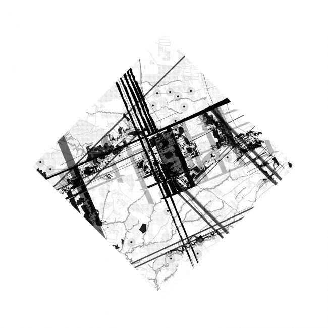
We have been dealing with the vast-scale approach building a synthetic and strictly oriented method to read the territorial system, conceived by the means of certain specific topics that could be used to map and order through specific gazes the multiple conditions of such a big area. This “read-and-select” method arises from the conviction that the local real condition already presents many elements with a huge interesting potential, though not yet they have been brought together into a complete picture. Our preconditions are the research projects leaded by Zenghelis and Aureli in the project Brussels, A Manifesto, as they select the nodal points in the city and plan to redefine their network, the job of Secchi-Viganò for the Consultation Grand Paris that moves from a “topography” to a “topology” of the territory while recognizing ad naming its main environments and infrastructures, the Purini proposal for Vema where the interest is not focused on the single projects, but on the networking framework among them; the potentials of the “read-and-select” method are supported by some “well-read” interpretatons of Rome ad its surroundigs, which have been circumscribed its sense into specific elements: according to Nolli’s view, the public space, to Piranesi’s one the archetypal buildings, to Vasi’s the narration through pictures, to Portoghesi’s the forra.
Mapping as Narration
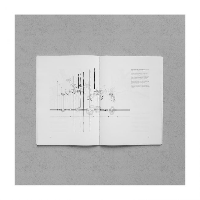
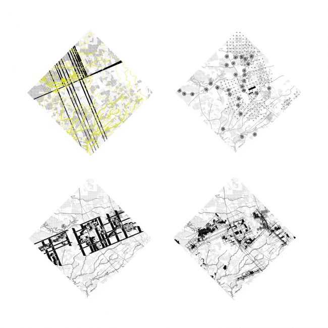
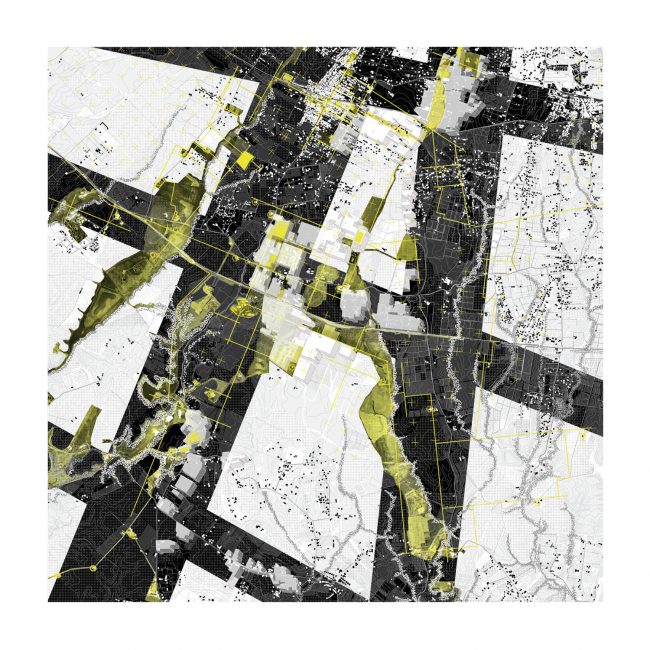
The action of mapping and selection has been leaded by four key-topics: “soil”, “recycle”, “memory” and “threshold”, with the aim to narrate the territory as a constellation of noticeable places and of huge sphere of interest. Studying geology and morphology of the volcanic region put into evidence the Via del Mare transverse line that acts at the same time as limit among different morphological conditions (to the north the forra, to the south the roggia) and as connection from Albano lake to Rome, across remarkable and mythological places which aren’t valued today or even have been destroyed: the roman “sacred path” (one last segment has been hidden under Via dei Papiri social housing development), the “Crocevia delle Fate”, the ”Faun Cave”, the Solforata lake – in the prehistoric eve an unextinguished volcano the ancients elected as home for the national deity –, all the way to the di Decima Malafede natural reserve, site where the social and environmental decay is growing and growing, but also where the rare and precious planitial forest ecological habitat is unexpectedly still surviving. Looking for the hidden or forgotten traces that become stratified with the history of this area highlighted a deep network of points/places related to the memory of the site, historical and archeological elements with deep iconic potential: the roman “centuriatio” traces still visible into the agricoltural fields layout, ruins of roman domus, medieval towers, interesting historical stratifications; at the Via del Mare 15th mile, inside the Solforata area, we find the pontifical Domusculta Calvisianum; founded on top of a small hill where five streets intersected, it became first “curia”, then “castrum” in the Middle Ages (Sulpherata) and was then divided into the farmsteads of Solforata and Solforatella; Tor del Vescovo had been founded above prehistorical tuff caverns, so vast that they had been used like underground bunkers during the war. Mapping the industrial platforms to go through a recycling program points out that process which, during the 1950s, has been decentralizing may of the industrial fields from Rome to that Via del Mare which was becoming (being the Sacred ancient one) now one of the few goods transportation corridors from the Adriatic to the Tyrrhenian sea. This new area hosted some among the most important and innovative companies of the time, the first IBM branch, the RAI television headquarters and antennas… Such a development had been a short one though, soon followed by the opposite tendency to decommissioning. Anyway, so much soil went from organic to mineral, causing a very strong discontinuity between the natural/agricultural land and this new, barely artificial, one, losing consequently the logics of the developments and the sense of the places. If the rural land is the backbone and the element which is more resistant to change, the more stable, investigating the thresholds’ areas can reveal the intervals where this system gets in contact with the other overlapped systems, the infrastructure, the brownfields, the residential sparse areas, etc. The borderlines can offer spaces for interaction, and therefore for the project. They can become meaningful places, “sequences of discontinuity” among different conditions, free spaces open to build new relationships.
Network as Operational Topography
Systematizing the topics with such a kind of complete narration generates a new code to represent the territory, a code that re-give meaning to the significant places, and set the condition for the citizens to re-gain them. Through a framework of open spaces the project re-defines the spatial networks, underlining on one hand the main linear systems, recognizing on the other hand a conceptual grid that becomes the palimpsest on which assembling all the specific projects. It’s an open abacus for new chances, available for the discussion the ROMA 20-25 Workshop is activating and will activate in all its public outcomes, an “Operational Topography” that makes the transition to the real project action possible. The territory is organized with a framework of devices composed by hubs (existing elements to involve or new spatial devices), lines (existing connections to redefine or new ones, strongly directional elements), and fields (noticeable areas that can be redefined working on their limits). The design actions are realized by using this spatial devices and adjusting them according the four key topics “soil”, “memory”, “recycle”, “threshold”.
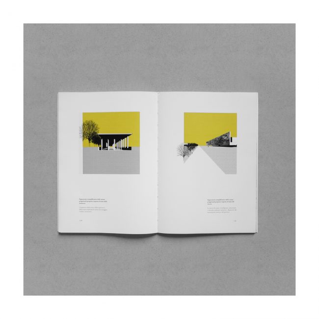
Project as Grammar
The actions of “digging, re-naturalizing, and freeing” the soil are realized through the devices of the excavation and the inhabited wall. The ones related to the memory issue, “to protect, to look after, to recognize, to reveal” become spatial devices like the roof, the room, the dig: they reveal and protect. Among the actions imagined for the recycling of the warehouses (“reuse”, “reset”, “cross”, “erase”) significant is the device of the wall conceived like a theater wing acting where the building cannot be totally dismissed, in a sort of camouflage where that the path can be highlighted. In terms of threshold actions of “mediating” and “connecting” mark the discontinuity between different kinds of soil and become punctual landmarks (towers, signals…) and traces/layouts. Like Archizoom’s No-Stop City typewriter fonts we think this approach could become the basis for a new “grammar” for the territory, re-giving meaning to the spaces, (re)cognizing the places of the identity using a new code which can be the support for new maps, able to re-orient the scattered landscape: a palimpsest continuously changing, available for new ways of living, made by all the different gazes on the project corresponding to every different living condition. Ours included.
